Collection
Abba Baptist (Irwin County, Ga.)
Abbeville Methodist (Wilcox County, Ga.)
Academy Baptist (Jackson County, Ga.)
Acworth Presbyterian Church (Cobb County County, Ga.)
Adel Presbyterian Church (Cook County, Ga.)
Adgateville Baptist (Jasper County, Ga.)
African Missionary Postcard Collection
Akin Methodist (Wayne County, Ga.)
Albert, of Brandenburg, Archbishop and Elector of Mainz, Cardinal letter
Albertus Dei et Apostolice Sedis gratia Maguntinen[sis] [sic] et Magdeburgen[sis] Archiepiscop[us] ac Halberstaten[sis] ecclesiar[m] Administrator, Germanie Primas ... Indulgence
Albrecht Dürer, Woodcut collection
Alexander Memorial Presbyterian Church (Dekalb County, Ga.)
Allenhurst Presbyterian Church (Liberty County, Ga.)
Alpine Presbyterian (Chattooga County, Ga.)
Altama Presbyterian Church (Glynn County, Ga.)
Ambrose Christian (Coffee County, Ga.)
American Academy of Religion Annual Meeting programs
American Academy of Religion records
Andrews Chapel Methodist (Coweta County, Ga.)
Andrews Chapel Methodist (Whitfield County, Ga.)
Antioch Baptist (Taliaferro County, Ga.)
Antioch Baptist (Washington County, Ga.)
Antioch Christian (Oconee County, Ga.)
Antioch Methodist (Clinch County, Ga.)
Antioch Methodist (Colquitt County, Ga.)
Antioch Primitive Baptist (Stewart County, Ga.)
Apple Valley Baptist (Jackson County, Ga.)
Arcade Presbyterian Church (Jackson County, Ga.)
Atcooga Presbyterian Church (Whitfield County, Ga.)
Attapulgus Presbyterian Church (Decatur County, Ga.)
Austell Presbyterian Church (Cobb County, Ga.)
Axson Methodist (Atkinson County, Ga.)
Baptist Rest Primitive Baptist (Emanuel County, Ga.)
Bark Camp Baptist (Burke County, Ga.)
Barnesville Presbyterian Church (Lamar County, Ga.)
Barnett Methodist (Warren County, Ga.)
Barnett Presbyterian Church (Warren County, Ga.)
Barnwell Chapel (Floyd County, Ga.)
Bath Presbyterian (Richmond County, Ga.)
Bay Springs Methodist (Washington County, Ga.)
Beaverdam Baptist (Wilkes County, Ga.)
Beersheba Presbyterian Church (Chattooga County, Ga.)
Benevolence Baptist (Randolph County, Ga.)
Benevolence Methodist (Crawford County, Ga.)
Bengt Runo Hoffman, Youngsters from the German highways
Ben Hill Presbyterian Church (Fulton County, Ga.)
Berlin United Methodist Church (Hephzibah, Ga.)
Beth-Salem Presbyterian (Oglethorpe County, Ga.)
Bethany Baptist (Harris County, Ga.)
Bethany Congregational Church (Thomas County, Ga.)
Bethany Presbyterian (Greene County, Ga.)
Bethany Presbyterian Church (Newton County, Ga.)
Bethel Baptist (Heard County, Ga.)
Bethel Baptist Church (Wilkinson County, Ga.)
Bethel Brick Methodist (Screven County, Ga.)
Bethel Methodist (Charlton County, Ga.)
Bethel Methodist (Coweta County, Ga.)
Bethel Methodist (Troup County, Ga.)
Bethel Methodist (Wilkes County, Ga.)
Bethel Presbyterian (Chattooga County, Ga.)
Bethel Primitive Baptist (Brooks County, Ga.)
Bethel Primitive Baptist (Early County, Ga.)
Bethesda Baptist (Greene County, Ga.)
Bethlehem Baptist (Harris County, Ga.)
Bethlehem Primitive Baptist (Brantley County, Ga.)
Bethlehem Primitive Baptist (Brooks County, Ga.)
Bethlehem Primitive Baptist Church (Cook County, Ga.)
Beth Salem Presbyterian Church (Muscogee County, Ga.)
Beulah Baptist (Hancock County, Ga.)
Big Buckhead Baptist (Jenkins County, Ga.)
Big Springs Methodist (Troup County, Ga.)
Black Rock AME (Wilkes County, Ga.)
Blackshear Presbyterian Church (Pierce County, Ga.)
Blooming Grove Methodist (Polk County, Ga.)
Bonna Bella Presbyterian (Chatham County, Ga.)
Books
Boston Presbyterian (Thomas County, Ga.)
Brandons Chapel (Bartow County, Ga.)
Braswell Methodist (Paulding County, Ga.)
Brinson Methodist (Decatur County, Ga.)
Bronwood Methodist (Terrell County, Ga.)
Brooksville Methodist (Randolph County, Ga.)
Bryan Neck Presbyterian (Bryan County, Ga.)
Buchanan United Methodist Church (Buchanan, Ga.) records
Buford Presbyterian Church (Gwinnett County, Ga.)
Bulk Edit
Burnt Church Primitive Baptist (Lanier County, Ga.)
Burnt Fort Chapel (Camden County, Ga.)
Cairo Presbyterian Church (Grady County, Ga.)
Calhoun Presbyterian Church (Gordon County, Ga.)
Calvary Presbyterian Church (Cobb County, Ga.)
Calvary Presbyterian Church (Elbert County, Ga.)
Calvary United Methodist (Jasper County, Ga.)
Candler School of Theology Buildings and Facilities collection
Cane Creek Baptist (Lumpkin County, Ga.)
Caney Head Methodist (Heard County, Ga.)
Canon Methodist (Franklin County, Ga.)
Canon Universalist (Franklin County, Ga.)
Capitol View Presbyterian Church (Fulton County, Ga.)
Carmel Baptist (Newton County, Ga.)
Carnesville Presbyterian Church (Franklin County, Ga.)
Carrolls Methodist (Franklin County, Ga.)
Carrollton Presbyterian Church (Carroll County, Ga.)
Carswell Grove Baptist (Jenkins County, Ga.)
Cascade Road Presbyterian Church (Fulton County, Ga.)
Catholic Church, North Dutch Book of Hours
Catholic Church Les Heures de Nostre Dame
Cedar Grove Methodist (Tattnall County, Ga.)
Center Methodist (Oglethorpe County, Ga.)
Center Presbyterian Church (Toombs County, Ga.)
Ceres-Musella Baptist (Crawford County, Ga.)
Charles Minot and Elva R. Griffith papers
Charles Wesley family papers
Cherokee Corner Methodist (Oglethorpe County, Ga.)
Cherry Grove Church & School (Wilkes County, Ga.)
Chickamauga Presbyterian Church (Walker County, Ga.)
Christ United Methodist (Baker County, Ga.)
Chubb Chapel United Methodist (Floyd County, Ga.)
Church of England Diocese of Chester Consistory Court Commission to Renovate the Parish Church of Walton-on-the-Hill (Lancashire, England)
Clark's Station Baptist (Wilkes County, Ga.)
Clarks Chapel (Burke County, Ga.)
Clayton Presbyterian Church (Rabun County, Ga.)
Clifford Memorial Presbyterian Church (Columbia County, Ga.)
Climax Presbyterian Church (Decatur County, Ga.)
Clinchfield Presbyterian Church (Houston County, Ga.)
Clinton Methodist (Jones County, Ga.)
Cloudland Presbyterian Church (Chattooga County, Ga.)
Colemans Chapel (Jefferson County, Ga.)
Collection of Communion Tokens
Collection of Documents related to Slavery in America
Collection of illuminated manuscript leaves
Collinsworth Methodist (Talbot County, Ga.)
Columbia Primitive Baptist (Brooks County, Ga.)
Columbia Theological Seminary
Comer Presbyterian Church (Madison County, Ga.)
Concord Methodist (Putnam County, Ga.)
Concord Methodist (Walker County, Ga.)
Concord Primitive Baptist (Cook County, Ga.)
Concord Primitive Baptist (Jasper County, Ga.)
Conn's Creek Baptist (Cherokee County, Ga.)
Contemplative Outreach
Cool Springs Primitive Baptist (Wilkinson County, Ga.)
Coopers Creek Baptist (Fannin County, Ga.)
Corinth Methodist (Heard County, Ga.)
Corinth Methodist (Talbot County, Ga.)
Corinth Primitive Baptist (Charlton County, Ga.)
County Line Baptist (Butts County, Ga.)
County Line Baptist (Stewart County, Ga.)
Cove Methodist (Walker County, Ga.)
Crawfordville Baptist (Taliaferro County, Ga.)
Crawfordville Presbyterian (Taliaferro County, Ga.)
Crescent Hill Baptist (White County, Ga.)
Cuba Presbyterian Church (Early County, Ga.)
Culloden Methodist (Monroe County, Ga.)
Culloden Primitive Baptist (Monroe County, Ga.)
Cumorah Church of Latter Day Saints (Coffee County, Ga.)
Dahlonega Presbyterian Church (Lumpkin County, Ga.)
Danielsville Presbyterian Church (Madison County, Ga.)
Danville Methodist (Twiggs County, Ga.)
Dawes Presbyterian Church (Thomas County, Ga.)
Dexter Methodist (Laurens County, Ga.)
Dickey Presbyterian (Calhoun County, Ga.)
Digital Image Archive
Dooly Campground (Dooly County, Ga.)
Dorchester Presbyterian (Liberty County, Ga.)
Dry Pond Methodist (Jackson County, Ga.)
Duharts Baptist (Jefferson County, Ga.)
East Damascus Baptist (Gordon County, Ga.)
Eatonton Presbyterian Church County, (Putnam County, Ga.)
Ebenezer Presbyterian (Jefferson County, Ga.)
Ebenezer Presbyterian Church (Hogansville County, Ga.)
Elizabeth Lee Methodist Church (Chickamauga, Ga.) records
Elko Baptist (Houston County, Ga.)
Elko Methodist (Houston County, Ga.)
Elmodel Presbyterian Church (Baker County, Ga.)
Emmaus Primitive Baptist (Charlton County, Ga.)
Emmaus Primitive Baptist Church (Chattooga County, Ga.)
England Chapel United Methodist Church (Butts County, Ga.)
Enterprise Methodist (Terrell County, Ga.)
Ephesus Primitive Baptist (Monroe County, Ga.)
Eton United Methodist Church (Eton, Ga.) records
Euharlee Presbyterian Church (Bartow County, Ga.)
Euphrates Baptist (Glascock County, Ga.)
Evergreen Baptist (Bleckley County, Ga.)
Evergreen Congregational and School (Grady County, Ga.)
EXHIBIT: George Whitefield in America
EXHIBIT: Korean Artworks at Pitts
EXHIBITION: Controversy, Control, and Revolution: Paradise Lost and the Politics of Print in the Reign of James II
EXHIBITION: From Heaven to Earth The Papacy and Early Modern Rome
EXHIBITION: Karlstadt's "Firsts" in the Early Wittenberg Reformation
EXHIBITION: Masquerade: Scripturalizing Modernities Through Black Flesh
EXHIBITION: My Eyes Beheld an Eerie Sight: The Place of Monsters in Theology
EXHIBITION: Reformation Counterfeits: How 16th Century Printers Counterfeited the Works of Martin Luther
EXHIBITION: Vow Not To Bite Off Your Own Nose: Making and Breaking Vows in Reformation Germany
EXHIBITION: Women's Ordination
Ezekiel Congregational Methodist (Ware County, Ga.)
Faculty Retirement Acquisitions
Fair Haven Methodist (Jenkins County, Ga.)
Farmer Grove AME Church and School (Jefferson County, Ga.)
Fellowship Presbyterian Church (Butts County, Ga.)
Fellowship Primitive Baptist (Harris County, Ga.)
Ficklen Presbyterian Church (Wilkes County, Ga.)
Fields Chapel Methodist (Cherokee County, Ga.)
First Baptist Church of Marshallville (Macon County, Ga.)
First Presbyterian Church (Baldwin County, Ga.)
First Presbyterian Church (Brooks County, Ga.)
First Presbyterian Church (Clay County, Ga.)
First Presbyterian Church (Coffee County, Ga.)
First Presbyterian Church (Colquitt County, Ga.)
First Presbyterian Church (Crisp County, Ga.)
First Presbyterian Church (Decatur County, Ga.)
First Presbyterian Church (Dodge County, Ga.)
First Presbyterian Church (Elbert County, Ga.)
First Presbyterian Church (Glynn County, Ga.)
First Presbyterian Church (Habersham County, Ga.)
First Presbyterian Church (Haralson County, Ga.)
First Presbyterian Church (Meriwether County, Ga.)
First Presbyterian Church (Mitchell County, Ga.)
First Presbyterian Church (Polk County, Ga.)
First Presbyterian Church (Randolph County, Ga.)
First Presbyterian Church (Screven County, Ga.)
First Presbyterian Church (Seminole County, Ga.)
First Presbyterian Church (Spalding County, Ga.)
First Presbyterian Church (Sumter County, Ga.)
First Presbyterian Church of St. Marys (Camden County, Ga.)
First Presbyterian of Cohutta (Whitfield County, Ga.)
First Presbyterian of Darien (McIntosh County, Ga.)
First Presbyterian of Union Point (Greene County, Ga.)
Flat Rock Campground (Heard County, Ga.)
Flat Shoals Primitive Baptist (Troup County, Ga.)
Flemington Presbyterian (Liberty County, Ga.)
Flovilla Methodist (Butts County, Ga.)
Fork Chapel Methodist (Greene County, Ga.)
Fountain Campground (Warren County, Ga.)
Fowlstown Methodist (Decatur County, Ga.)
Fred Craddock Sermons
Frederick III, Elector of Saxony letter
Friendship Baptist (Putnam County, Ga.)
Friendship Baptist (Sumter County, Ga.)
Friendship Baptist (Thomas County, Ga.)
Friendship Baptist (Wilkes County, Ga.)
Friendship Presbyterian (Pike County, Ga.)
Friendship Presbyterian Church (Thomas County, Ga.)
George Whitefield letters
Georg Spalatin letters
Glendale Chapel Methodist Church and School (Floyd County, Ga.)
Glenn Independent Methodist (Heard County, Ga.)
Good Shepherd Episcopal Church and School (Glynn County, Ga.)
Grace Episcopal (Habersham County, Ga.)
Green Grove Baptist (Stewart County, Ga.)
Greenville Presbyterian (Meriwether County, Ga.)
Greenwood Baptist (Lincoln County, Ga.)
Grooverville Methodist (Brooks County, Ga.)
Haralson Methodist (Coweta County, Ga.)
Hardison Baptist (Crawford County, Ga.)
Harmony Baptist Church (Baldwin County, Ga.)
Hatoff Baptist/Mt McCrae (Laurens County, Ga.)
Haw Pond Baptist (Crisp County, Ga.)
Hebron Presbyterian (Banks County, Ga.)
Hebron Presbyterian Church (Meriwether County, Ga.)
Hendrik Goltzius, Life of the Virgin engravings collection
Hephzibah Southern Methodist (Richmond County, Ga.)
High Bluff Primitive Baptist (Brantley County, Ga.)
Hillsboro Methodist (Jasper County, Ga.)
Historic Rural Churches Archive
Historic Rural Churches of Georgia Virtual Spaces
Holbrook Campground (Cherokee County, Ga.)
Holly Grove Baptist (Houston County, Ga.)
Homer Presbyterian Church (Banks County, Ga.)
Hopeful Baptist (Burke County, Ga.)
Hopeful Baptist Church (Burke County, Ga.)
Hopeful Primitive Baptist (Fayette County, Ga.)
Hopewell Baptist (Jasper County, Ga.)
Hopewell Methodist (Schley County, Ga.)
Hopewell Missionary Baptist (Quitman County, Ga.)
Hopewell Presbyterian Church (Franklin County, Ga.)
Hoschton Presbyterian Church (Jackson County, Ga.)
Howard Thurman Sermons
Indulgencia Plenaria
J. Michael Morgan English Bible and Psalmody Collection
James Archer sermons
James F. Hopewell papers
James Radcliffe, Earl of Derwentwater speech
Johannes Cochlaeus letter
Johann Stoltz manuscript
John, Elector of Saxony letter
John Bennet Queries Humbly Proposed to the Rt. Reverend and Rt. Honourable Count Zinzendorf
John Henry Newman papers
John Wesley papers
Jones Chapel United Methodist Church (Danielsville, Ga.) records
Joseph Lumpkin Gerdine collection
Journal of Biblical Literature
Justus Jonas receipt
Kaspar Cruciger letter
Kiyoshi Tanimoto collection
Lebanon United Methodist Church (Gillsville, Ga.) records
Lexington Presbyterian Church (Oglethorpe County, Ga.)
Liberty Hill United Methodist Church (Hartwell, Ga.) records
Lincolnton Presbyterian Church (Lincoln County, Ga.)
Lincolnton United Methodist Church (Lincolnton, Ga.) records
Lula United Methodist Church (Lula, Ga.) records
Martin Luther manuscript
McKee's Chapel United Methodist Church (Dawsonville, Ga.) records
Menlo United Methodist Church (Menlo, Ga.) records
Mercer University
Methodist Episcopal Church, Georgia Conference records
Moralia in Job manuscript leaf
Mountville United Methodist Church (LaGrange, Ga.) records
Mt. Zion Primitive Baptist Church (Rockdale County, Ga.)
Nestorian Tablet of Sian-fu
Non-Pitts Materials
Oak Grove Primitive Baptist Church (Brooks County, Ga.)
Oostanaula United Methodist Church (Rome, Ga.) records
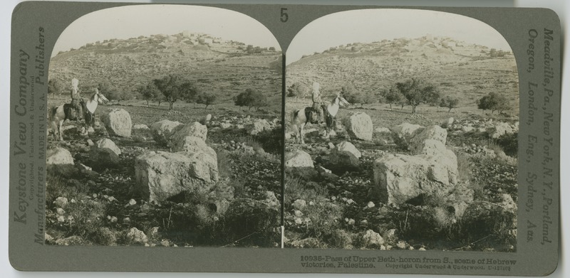
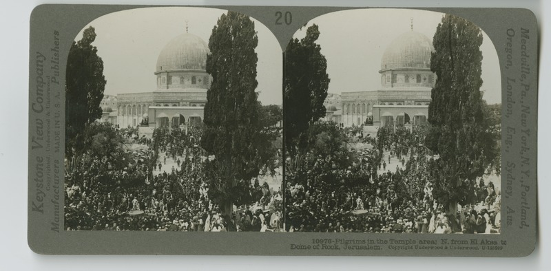
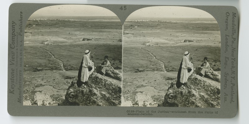
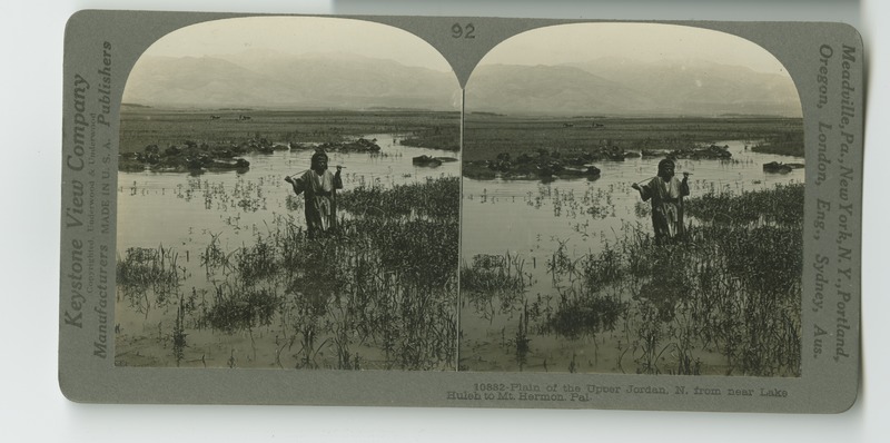
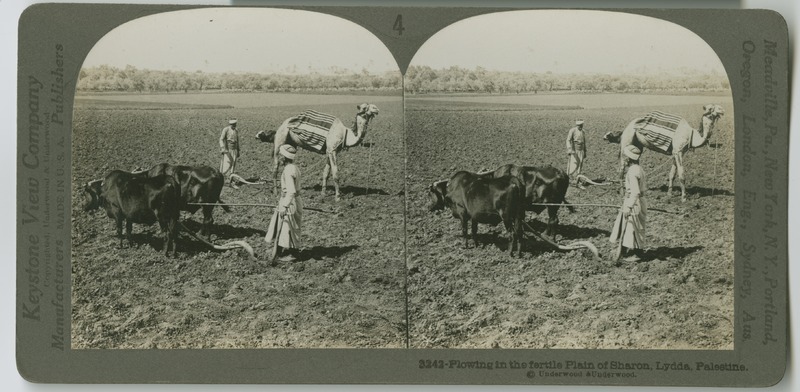
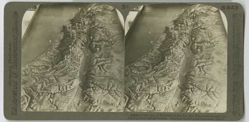
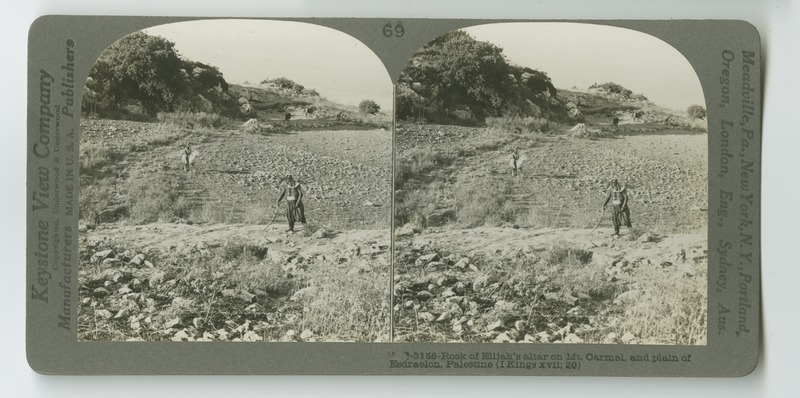
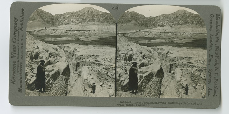
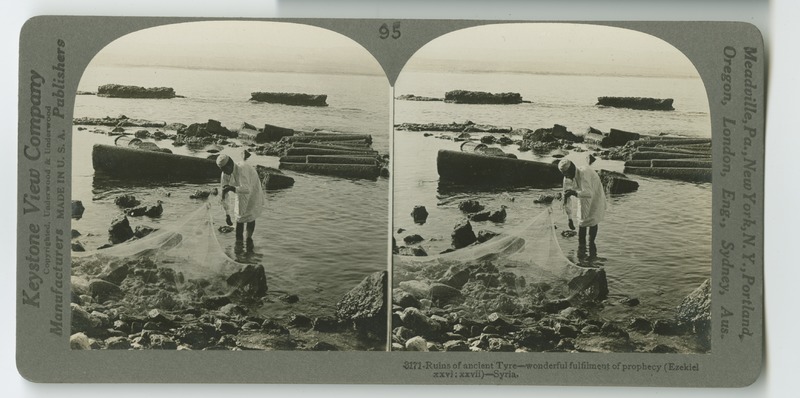
Palestine Through the Stereoscope
Penfield Presbyterian Church (Greene County, Ga.)
Pennington United Methodist Church (Madison, Ga.) records
Philip II, King of Spain, Council of Trent document
Philippe Galle, Septem opera misericordiae spiritalia
Philipp Melanchthon Paulus Spricht zu den Colossern and woodcut
Pitts Digital Collections
Pitts Digital Publications
Plains Baptist Church (Sumter County, Ga.)
Pleasant Grove United Methodist Church (Temple, Ga.) records
Poster Collection
Preston Presbyterian Church (Webster County, Ga.)
Protestant Hour — 1940s
Protestant Hour — 1950s
Protestatio facta in Dieta Augustana 1550 circa conciliu[m] p[er] oratores electoris Ducis Mauritij saxonici
Rabun County Presbyterian Churches (Rabun County, Ga.)
Raffaele de' Medici letters
Reformation-era Woodcut collection
Reverend Gordon Taylor Collection of Church Histories
Riceboro Presbyterian Church (Liberty County, Ga.)
Rice Memorial Presbyterian Church (Fulton County, Ga.)
Richard C. Kessler Reformation Collection
Robert Paine papers
Robinson Family papers
Rush Chapel United Methodist Church (Rome, Ga.) records
Salem Primitive Baptist Church (Crawford County, Ga.)
Sardis Presbyterian Church (Floyd County, Ga.)
Second Presbyterian Church (Thomas County, Ga.)
Selina Hastings letters
Shiloh Baptist Church (Greene County, Ga.)
Siloam Presbyterian Church (Greene County, Ga.)
Siloam United Methodist Church (Siloam, Ga.) records
Silver Creek United Methodist Church (Silver Creek, Ga.) records
Sir Gilbert Pickering Pardon
Society of Biblical Literature Annual Meeting Seminar Papers
Society of Biblical Literature Annual Meetings programs
Society of Biblical Literature records
Stillmore Baptist Church (Emanuel County, Ga.)
Swords United Methodist Church (Buckhead, Ga.) records
Tallapoosa Presbyterian Church (Haralson County, Ga.)
Telugu Mahābhārata. Udyōga Parva (The Book of Effort)
Thyatira Presbyterian Church (Jackson County, Ga.)
Tiger Presbyterian Church (Rabun County, Ga.)
Timpson Presbyterian Church (Rabun County, Ga.)
Tribunal of the Inquisition at Barcelona records
Turin United Methodist Church (Turin, Ga.) records
Türkenkriege-Verzeichnis der personen vnd knechte, so zu widerstandt des Türcken...
United Methodist Church (U.S.) North Georgia Conference, Local Church histories
Washington First United Methodist Church (Washington, Ga.) records
Wesleyana Artifact Collection
William Jackson Callahan papers
Williams Creek Baptist Church (Warren County, Ga.)
Woodstock Presbyterian Church (Oglethorpe County, Ga.)
[Borromeo broadsheet]
[Day1 Audio collection]
 Still image
 Still image
 Text
 Still image
 Still image
 Still image
 Still image
 Still image
 Still image
 Still image
 Still image
 Still image
 Still image
 Still image
 Still image
 Still image
 Still image
 Still image
 Still image
 Still image
 Still image